Soil data needs to be obtained rapidly, digitally, and objectively so that it can be repeatable and transferable. Without this, soil data is not scalable or appropriate for modeling, advanced analytics, and enabling modern engineering solutions.
The problem with soil sampling and lab analysis is that they don’t produce the proper or accurate reference to adequately baseline, monitor, and drive decision-support activities in agriculture. A recent article about a study (posted here) reconfirms what I’ve observed directly over 25 years of digital soil mapping across 6 continents; that soil samples and lab data (in this case soil carbon) is not a reliable ‘datum’ and does not represent what roots and the overall microbiome experience in the soil environment. The authors takeaway from the study?
“Researchers found that soil carbon measurements for the same soil sample varied by as much as double across different labs.”
Let that sink in.
I encourage you to read the article as it’s well-written and concise and links to the peer-reviewed study. The author (Jocelyn Lavallee) does a good job of discussing, and offering suggestions to improve the current paradigm of taking soil samples and using a lab. In my opinion though, this misses the bigger problems with this paradigm:
1) No matter how careful and meticulous one is when collecting soil samples, there will always be a massive amount of subjectivity around where and how the sample is collected and processed because humans are involved. The article says “the operator should carefully check that plant and rock material are not included in the measurement.” This introduces extreme subjectivity and is very time consuming. This is not going to work, ever, on a commercial scale.
2) Does it even make sense to remove a soil sample from its in-situ environment and destroy its greater context? How are soil organic matter and roots, some of which have been removed before lab analysis, impacting soil structure? What is the soil structure? How are the soil grains packed, arranged, and sequenced in their horizons and how that impact water and nutrient holding capacity? It goes on. How are all these properties (and others) working together to impact the health of the entire soil profile? To impact each other? Impact the crop?
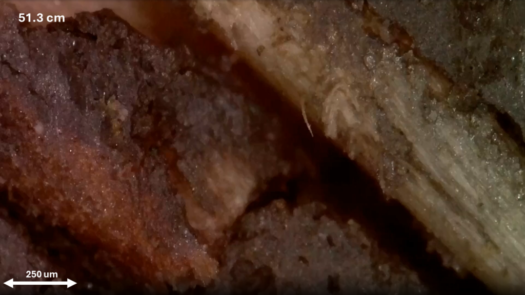
3) Pulling a core sample or digging a pit is time consuming and exposes the soil to atmospheric levels of air and light and incurs disturbance. The ~500g you send to the lab for full analysis can represent up to 30cm of depth from a standard core and is subsampled further to run various tests. The lab gives you a single result with no understanding of the depth the single measurement represents in the soil profile section. This tells you nothing about the full vertical profile distribution of any of these soil properties and most cannot be observed by looking at or scanning a core or a pit. If a sample goes to the lab to run the analysis all of these problems are attached to the result.
4) Even if you could eliminate these issues around sample collection, lab analysis, and the subjective processes (which is not possible) you still have the problem of spatial and information statistical significance. The natural and unavoidable soil heterogeneity at the pedon-scale means that dozens of samples would need to be collected at each location across the field to quantify this variability (even more to account for the issues above). This might happen on a research plot (but usually doesn’t), but it isn’t going to happen at all on large farms and ranches. This point can’t be glossed over and most likely is the primary cause of the result of the posted study as well as my experiences.
These issues are the reason that engineering solutions exist to optimize agricultural production but are not widely deployed. A lack of understanding of the characteristics of the soil environment at the field and landscape scale is why analytics and better decision-support technology have not been fully enabled and realized. It is also why soil samples are inadequate to quantify, baseline, and monitor soil properties over time and space.
The solution? Soil measurements must be obtained from rapidly deployed dynamic in-situ proximal sensors paired with analytical remote sensing and complimentary agronomic data. These observations must be taken in the context of a digital twin that adequately represents the true soil profile metrics and their relationship to crop performance.
