News

Our collection of curated events, posts, articles, and news

Press

BREAKING NEWS: First international patent!

Our #digitalsoilcore has just had it’s first international patent allowed! This patent is through the European Patent Organization that covers 39 member states. Thank you to our engineers and scientists. More details to follow. Learn more: https://www.mdpi.com/1424-8220/24/21/6855

Read More »

Events

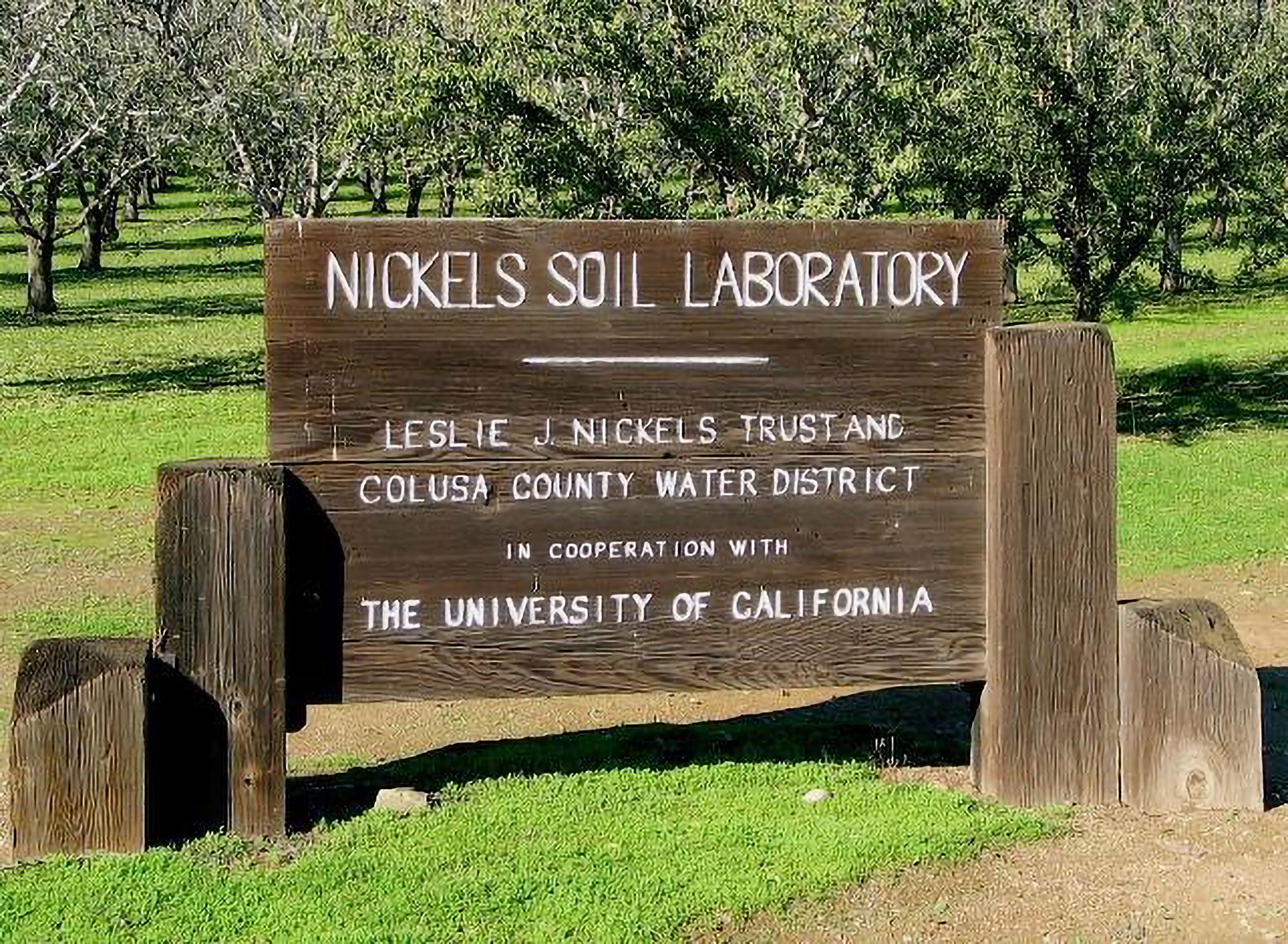
Nickels Soil Lab Annual Field Day 5/19

Please use the link below for directions to the event location: https://maps.app.goo.gl/G1HvPjbamvTFbNvN8 8:30 am — Registration Coffee and Donuts provided by Farm Credit Services of Colusa-Glenn, ACA Cycle I: 9:20-10:45 am 1) Updates on almond Red Leaf Blotch epidemiology and management Renaud Travadon, Project Scientist, Department of Plant Pathology, UC Davis 2) 11 years of

Read More »

GEM Alliance for AG

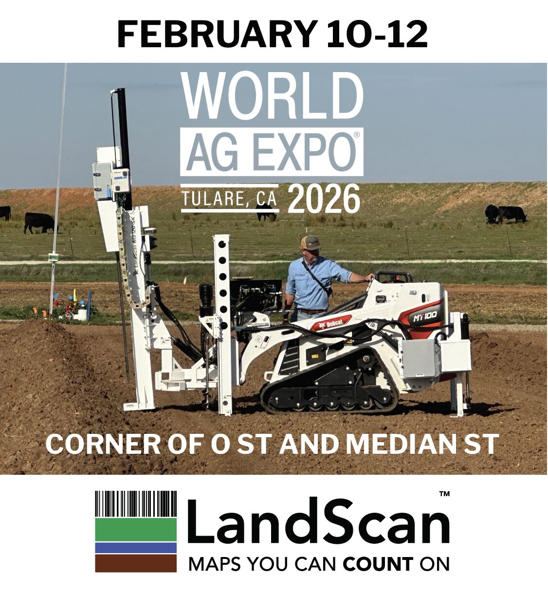
Come see us and other GEM Alliance for Ag participants at Duarte Friend’s Day on May 1st, 2026. Wine Tasking, Tours, Lunch, and of course, come talk to us about how you can turn soil variability into profitability. Thank you, Duarte Nursery for hosting and inviting us to participate.

Read More »

Posts

Timely updates on our Products and Partners

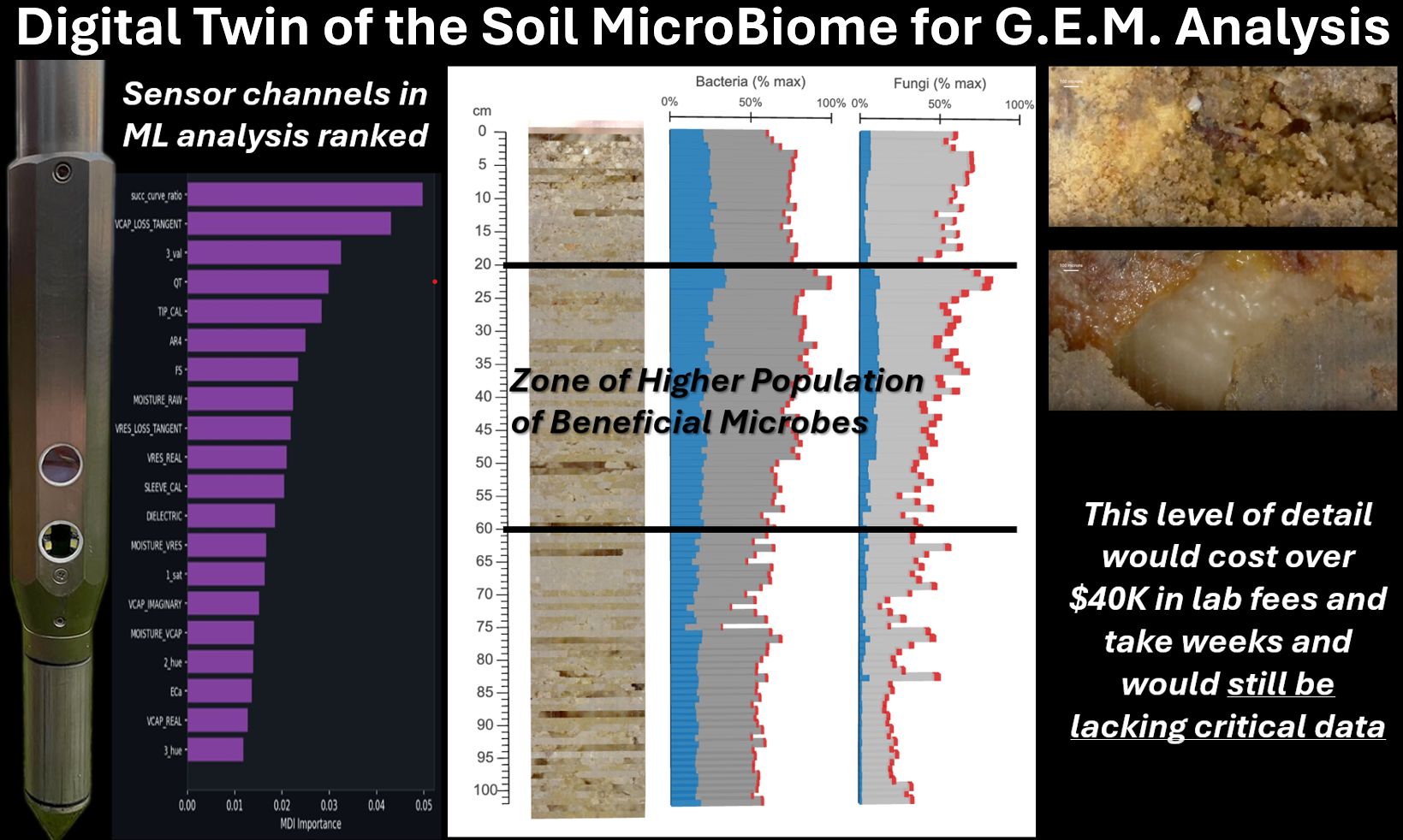
“Digital Twin of the Soil MicroBiome for G.E.M. Analysis” showing Digital Soil Core sensor rankings, soil profile depth data, predicted bacteria and fungi populations, and microscope imagery of soil structure.

The Next Frontier in Soil Health: Building a Digital Twin of the Soil Microbiome for G.E.M. Analysis

Our team has created the first ever digital twin of the soil microbiome for G.E.M. analysis. Objective and rapid scans of the entire soil profile trained using the hashtag#digitalsoilcore sensors and deep machine learning to predict and quantify the soil micro-biometric environment and populations. More than a century ago, Dutch microbiologist Martinus Beijerinck helped frame

Read More »

What Makes LandScan’s Drone Imagery Unique

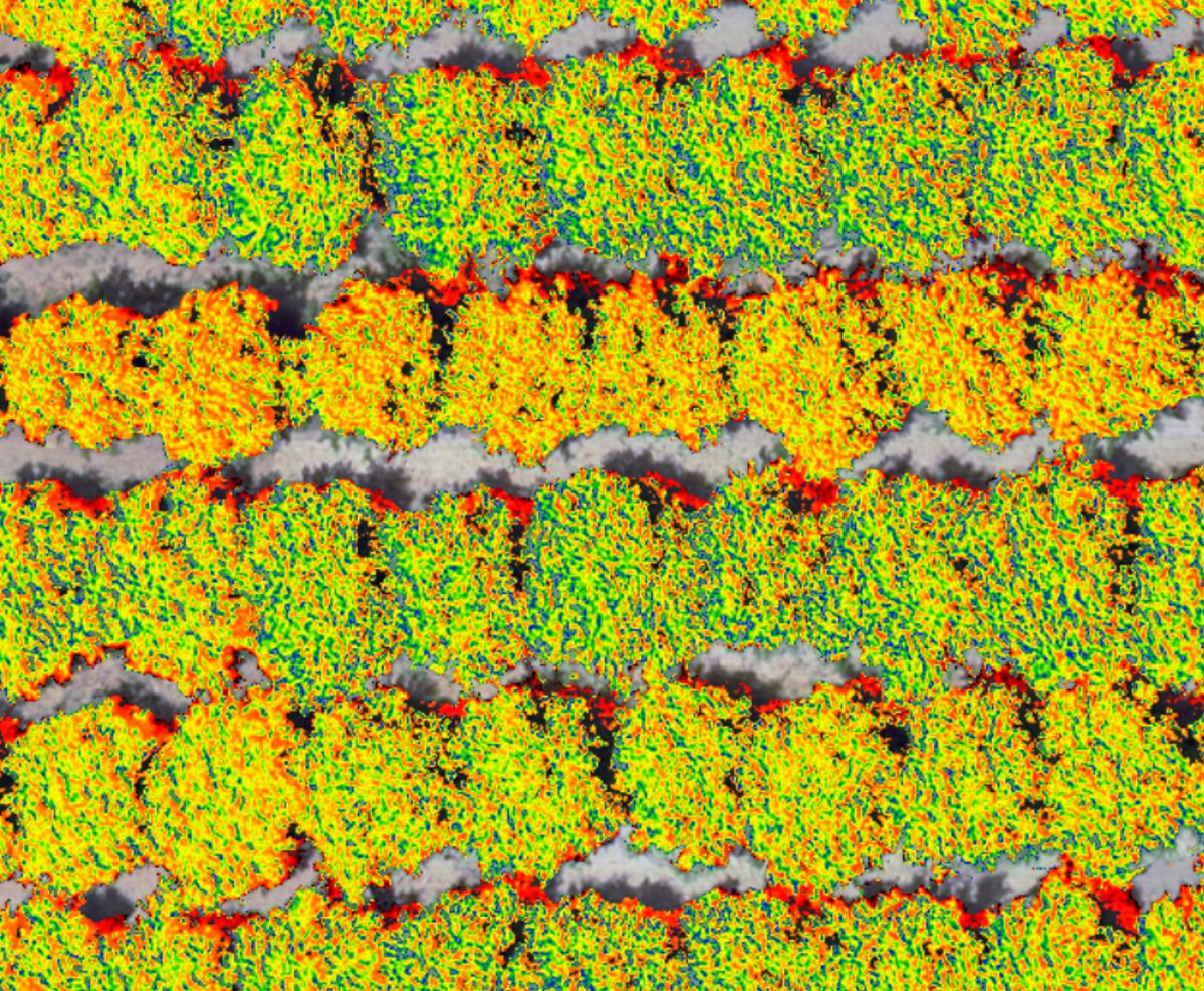
What makes our drone imagery unique? Just look. Those different colors are data from only fully sunlit pixels. Cover crops are filtered (and analyzed separately) and shade and dead branches removed. Calibrated at the pixel scale and combined with 3D photogrammetry. Collected over large areas quickly. hashtag#digitalvegetationsignature This isn’t a ‘can’t see the forest for

Read More »
Composite presentation slide showing LandScan’s GEM framework—Genetics, Environment, and Management—along with high-resolution soil information, plant-available water mapping, and precision agriculture decision-support outputs from a 2006 John Deere Agri Services presentation.

How LandScan Pioneered the GEM Framework for Precision Agriculture

The team at LandScan are the pioneers of the widely used GEM framework (Crop Performance = Genetics x Environment x Management) and have deployed it to real customers around the world since 2003. The GEM framework has become an accepted and widely utilized model in hashtag#digitalagriculture. It’s in university lectures, company pitches and strategies, and

Read More »

Articles

Digging into Core Concepts

“What Is a Digital Twin and How Is It Used in Agriculture?” with a circuit-board tree representing connected soil, crop, and data systems.

What Is a Digital Twin and How Is It Used in Agriculture

A child can draw a stick figure. Two arms. Two legs. A head. A body. Now draw another one exactly like it, except this one has red shoes. If your goal is simply to count people, both drawings are equally useful. Either one can represent a person in a database. The informational resolution is sufficient

Read More »

From Data to Dollars: LandScan’s Root Cause Analytics Delivers $390 per Acre

“LandScan’s Root Cause Analytics integrated with our variable‑rate application systems have significantly improved the precision of our input management. By quantifying soil and environmental variability across space and time, we’ve reduced input costs, improved agronomist efficiency, and realized measurable production gains. These combined benefits have yielded an average value of $390 per acre.” Zac Ellis

Read More »

Patents

Australian Patent

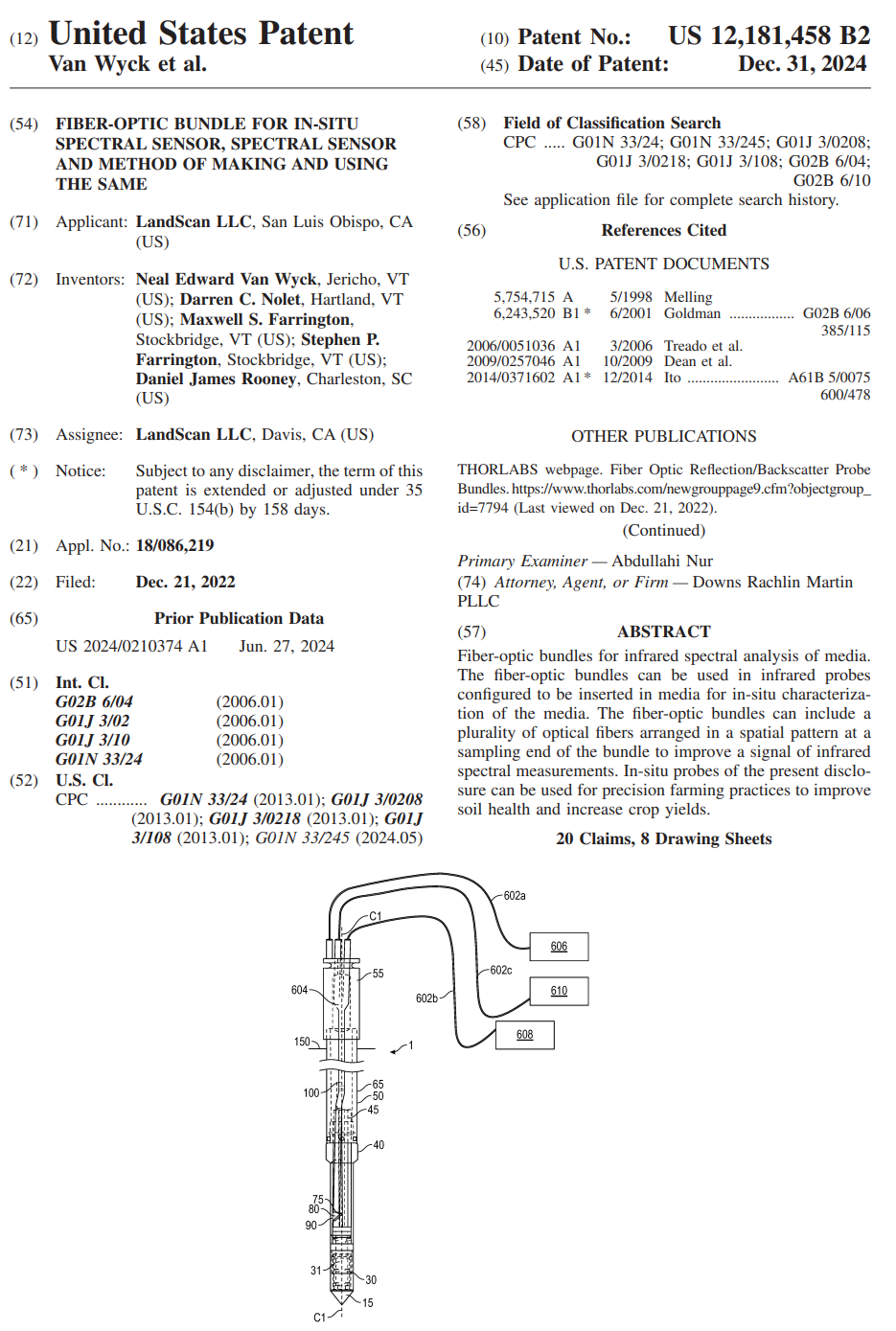
We are excited to announce our first Australian patent covering our Digital Soil Core (DSC) technology. We have also been granted patents on the DSC in 39 European countries and the US. Why patent? This is how a ‘small’ company can protect its ideas and bring them to the world. LandScan has several other granted

Read More »

BREAKING NEWS: First international patent!

Our #digitalsoilcore has just had it’s first international patent allowed! This patent is through the European Patent Organization that covers 39 member states. Thank you to our engineers and scientists. More details to follow. Learn more: https://www.mdpi.com/1424-8220/24/21/6855

Read More »

Acquisitions

LandScan Invests in Future of Geospatial Software With Recent Acquisitions

AgTech leader relaunches software platforms as Datum Geospatial™ Madison, WI, January 21, 2022– LandScan has announced the acquisition of three companies as part of its geospatial software relaunch. The acquisitions include: MicroImages, one of the longest standing geospatial software companies in the global market utilized in 120 countries and translated into 24 languages; Syncarto, a

Read More »

Acquisition Of Paris GeoSpatial, LLC.

Over the past 30 months as we’ve worked quietly it has been a challenge to keep our activities to ourselves. Among these activities was the acquisition of several companies that complement the LandScan mission. We will be announcing these in the coming weeks. These acquisitions by LandScan bring technology, intellectual property, and brilliant human beings

Read More »

Make Contact

Let's start a conversation

Book Services

Book Service Consult for 2026

  • No payment required until work is scheduled.
  • Our team of experts will contact you to setup a service consultation.