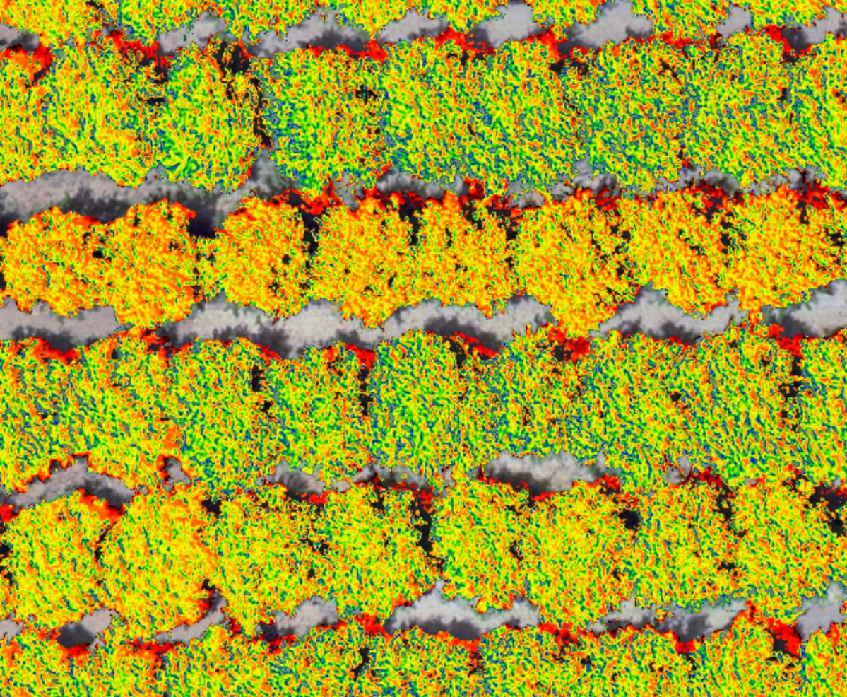
What makes our drone imagery unique? Just look. Those different colors are data from only fully sunlit pixels. Cover crops are filtered (and analyzed separately) and shade and dead branches removed. Calibrated at the pixel scale and combined with 3D photogrammetry. Collected over large areas quickly. hashtag#digitalvegetationsignature
This isn’t a ‘can’t see the forest for the trees’ situation, because these details when analyzed using our Root Cause Analytics (RCA) hashtag#digitaltwin software contributes many unique information dimensions necessary to drive the analytics at the field-scale. The RCA combines data from the Digital Soil Core (DSC) hashtag#digitalsoilcore, crop genetics, and management to generate never-before-possible insights and discoveries. The result is practical and economically sensible decision support for growers.
Learn more: https://landscan.ai/
hashtag#regenerativeagriculture hashtag#sustainableagriculture hashtag#agtech hashtag#remotesensing