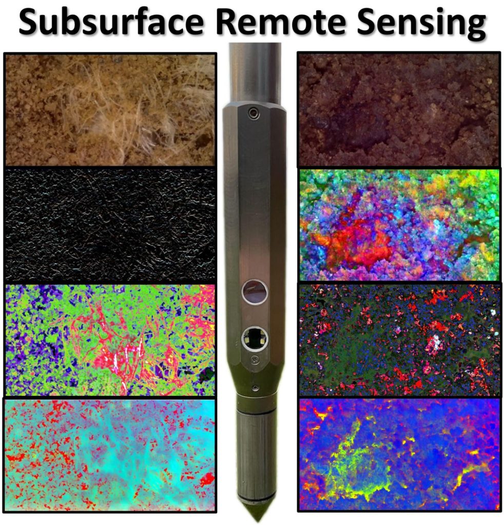
The business of looking down is looking up! LandScan is pioneering the new field of subsurface remote sensing where an image is worth a thousand data points.
Just like images obtained from satellites or airborne platforms can be processed, analyzed, and classified so too can images of the full soil profile obtained with the DSC #digitalsoilcore. The imagery is fused with other DSC sensor and agronomic data in the #rootcauseanalytics system that produces tangible and practical insights and amazing never-before-possible discoveries.
Learn more: https://landscan.ai/
#ii4ag #digitalagriculture #digitaltwins #soilscience #remotesensing

