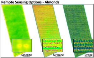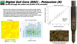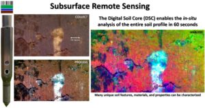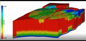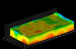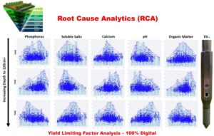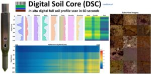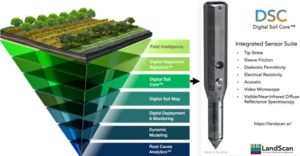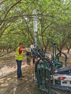
West Coast Nut Magazine – Digital Twin: Precision Tool Elevates Management Decisions
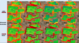
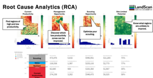
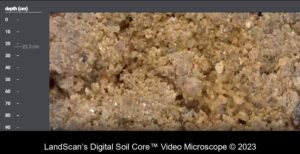
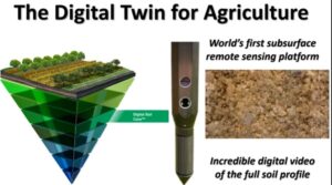
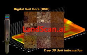
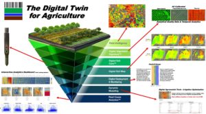
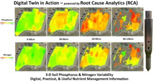
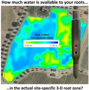
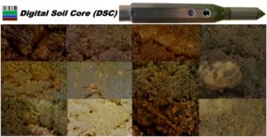
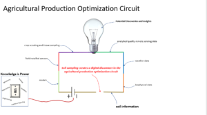
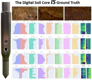
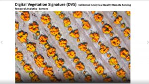
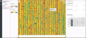
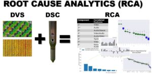
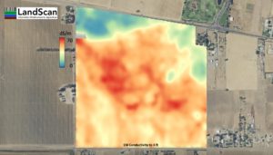
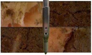
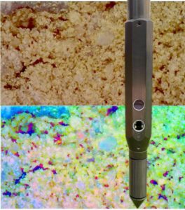
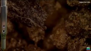
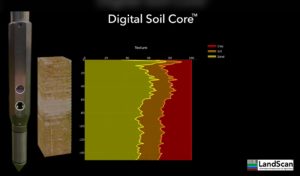
The creation and use of a digital twin of your cropping system is an essential part of optimizing management and production. This informative April article in West Coast Nut Magazine is about how LandScan technology is utilized. LandScan is working with nut growers in both the US, and by this June in Australia, to optimize